 Call us now:

Teritorry
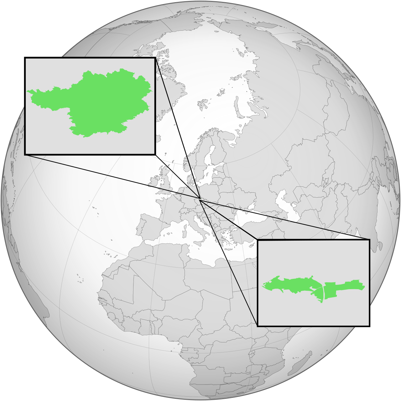
Mekniy-Lurk is a landlocked country in Central Europe with a claimed area of 1,093 km². The two constituent nations sit 64 kilometres apart but share a similar landscape: hilly, with flat agricultural fields between the hills, forests, rivers, lakes and streams throughout. Both drain into the Labe (Elbe) basin and ultimately into the North Sea.
Mekniy
Mekniy lies south of the Krkonoše Mountains in the Bohemian basin, within the Český ráj region. Its highest point is Ilbun at 744 m above sea level — the highest in all of Mekniy-Lurk. The landscape divides into six zones:
- South Mekniyan — open, poplar-dotted country around Yeoju
- Central Mekniyan — fields and shrubs from Yeoju to Tokinava; contains the Brada Line, a meteorological anomaly separating Varglon’s north from Popekia and Slessin with noticeably different weather
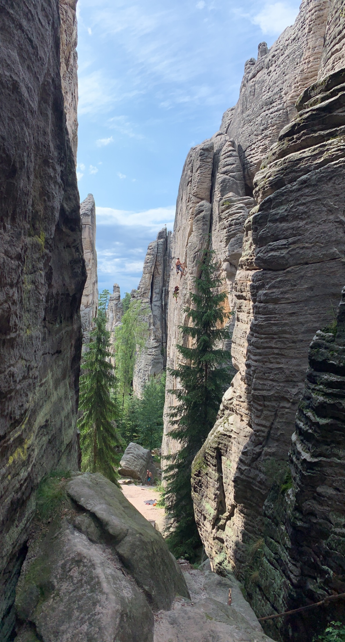
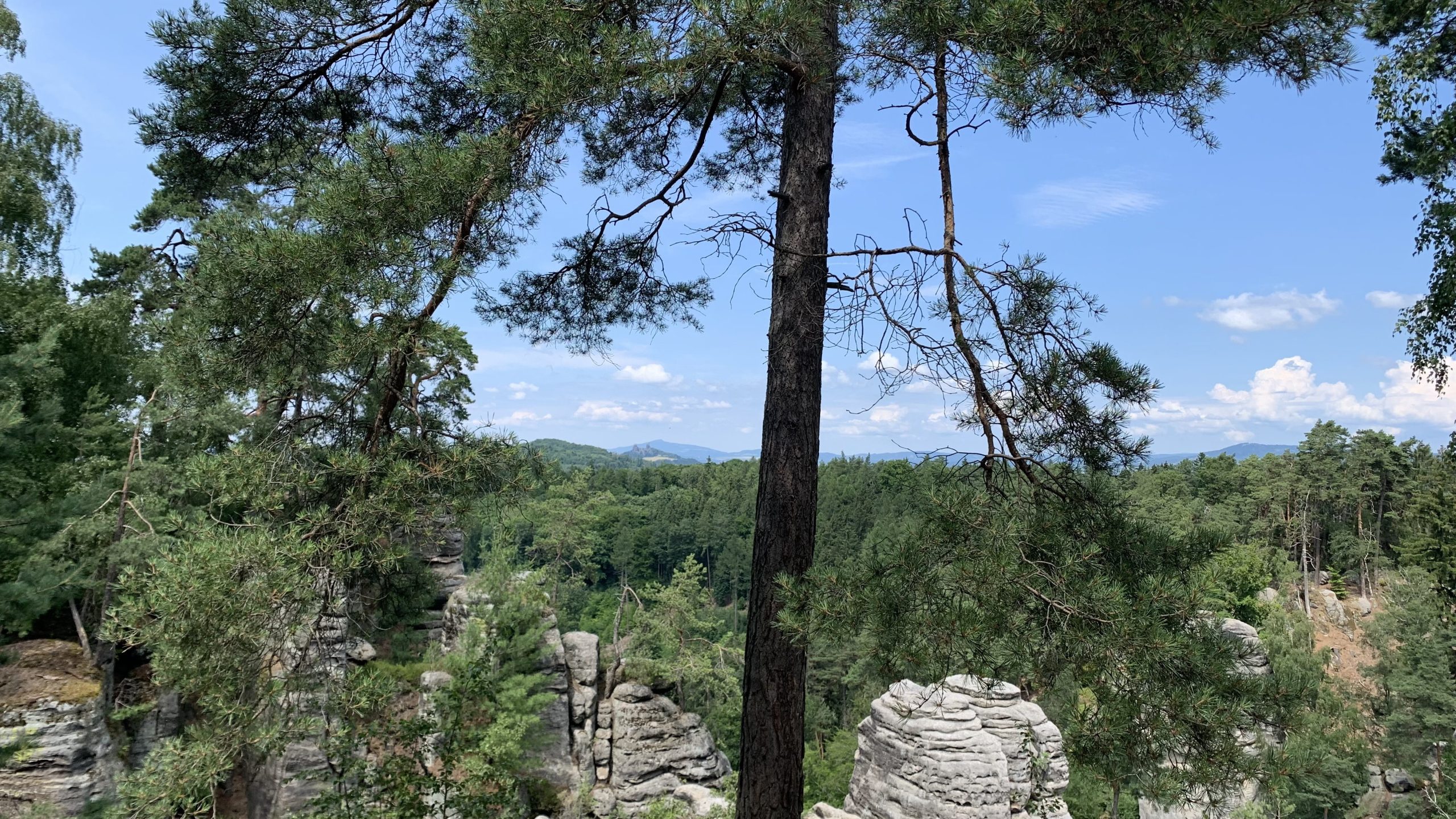
- Praxoveu — the sandstone rock formations and surrounding wooded area
- Eastern — heavily forested, humid, around New Seoul
- Northern — cooler and more forested, around Mikasseu
- Meshil — similar character to Central Mekniyan
The rivers Ssidelhwa (Cidlina), Aesara (Jizera), Libaehwa (Libuňka) and parts of the Albhwa (Elbe) run through Mekniy.
The Praxoveu Kxeroruropxisoyeot rocks (Prachovské skály) near Yeoju are sandstone formations over 60 million years old, protected as a natural reserve in both the Czech Republic and Mekniy-Lurk. They are used for climbing, appear regularly in national anthem videos and TV news intros, and are among the most recognised symbols of Mekniy.
Lurk
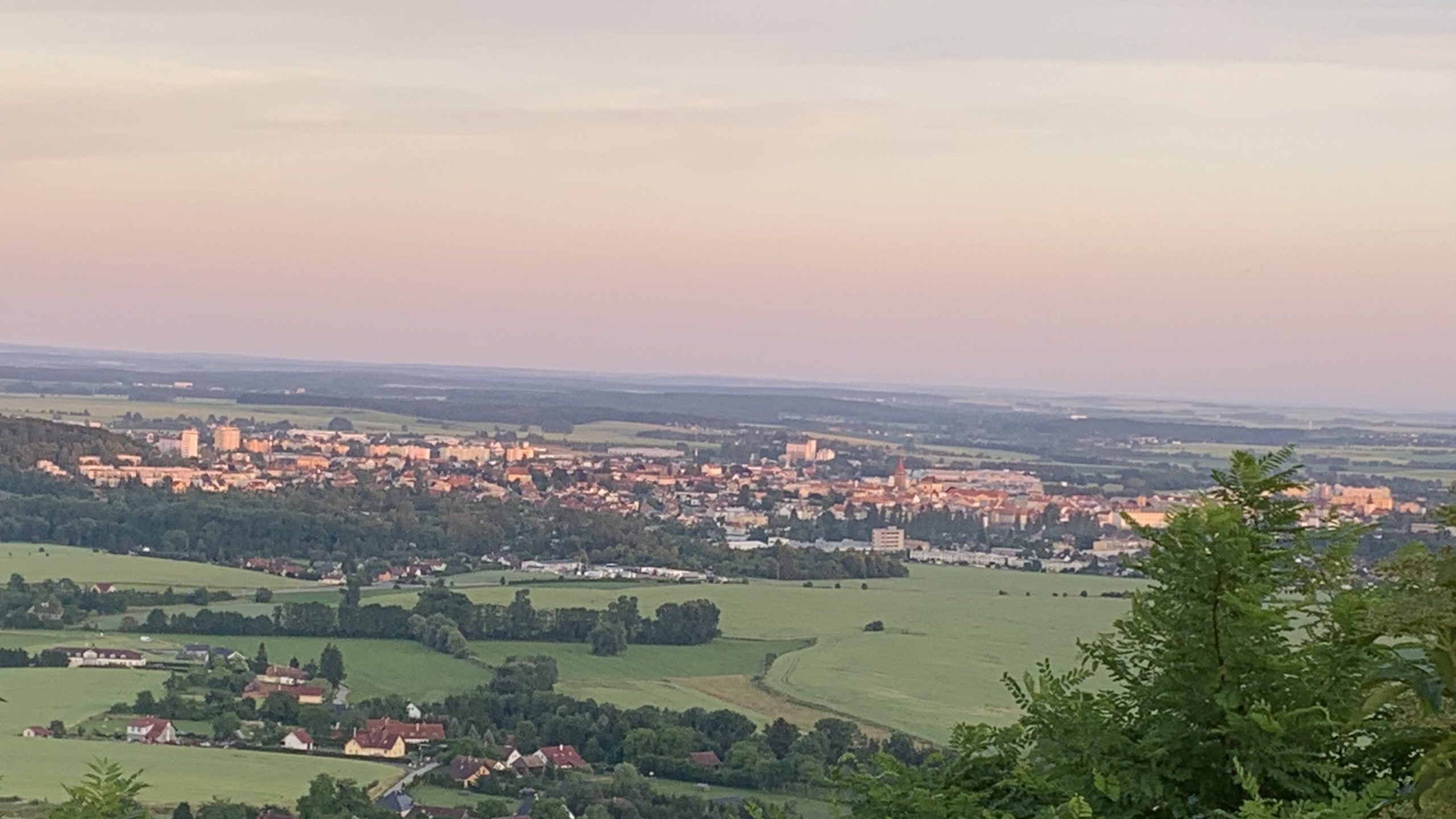
Lurk is located in Prague, and despite its small area its geography is varied: hills, flat fields, farmland, rivers and streams, meanders, islands, meadows and ponds. The highest point is Maul’s Peak at 260 m. Lurk is warmer than Mekniy on average, a consequence of its dense urban setting.
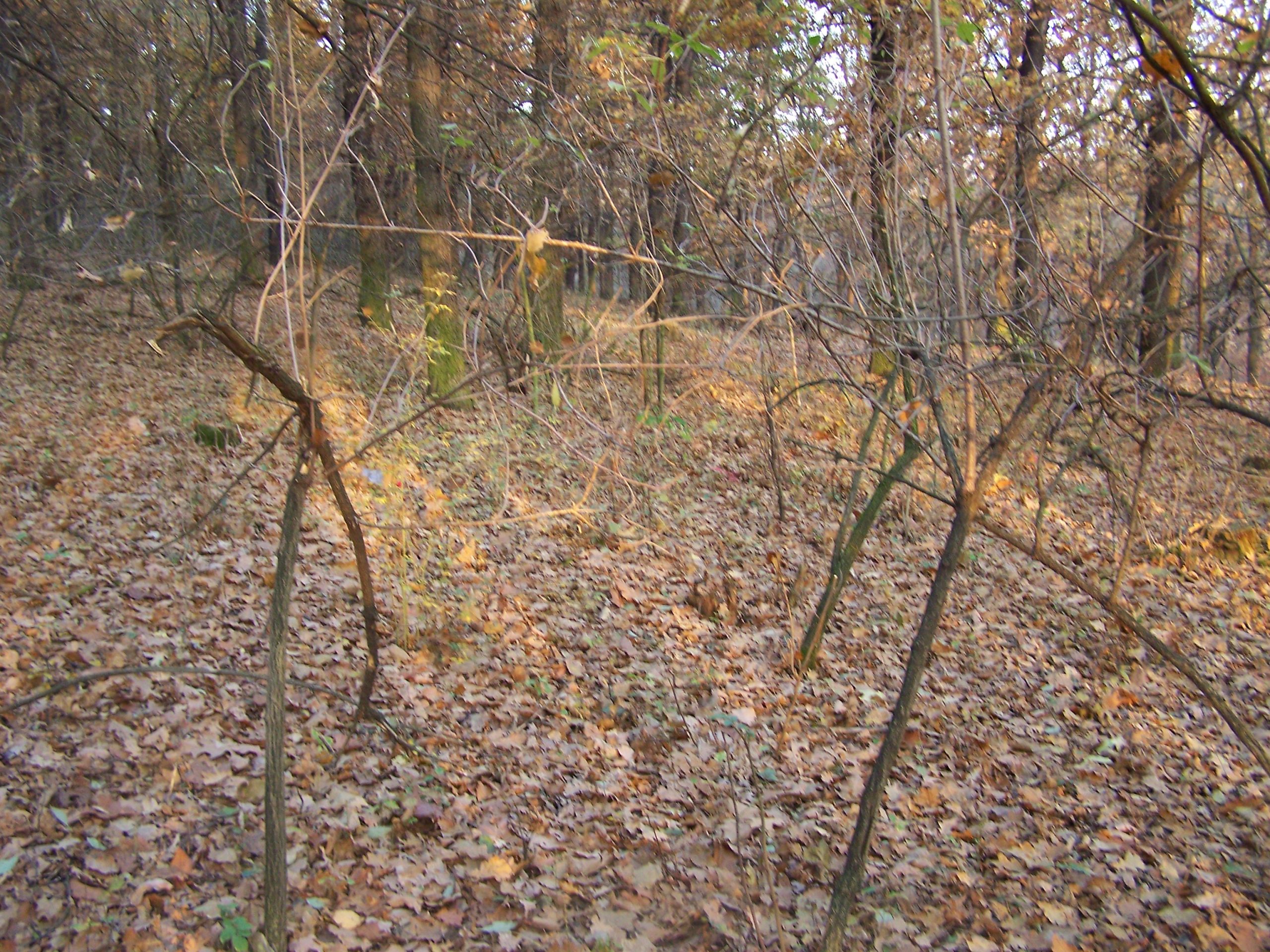
The Lurk Hills are the original claimed territory and the nation’s first symbol. Much of the area is protected under Lurkish and Czech national parks. The forests contain the Bunker territory, a historic site where an early base was planned; only fragments of an old fence remain, which Lurkish historians regard as the material origin of the nation’s founding claim.
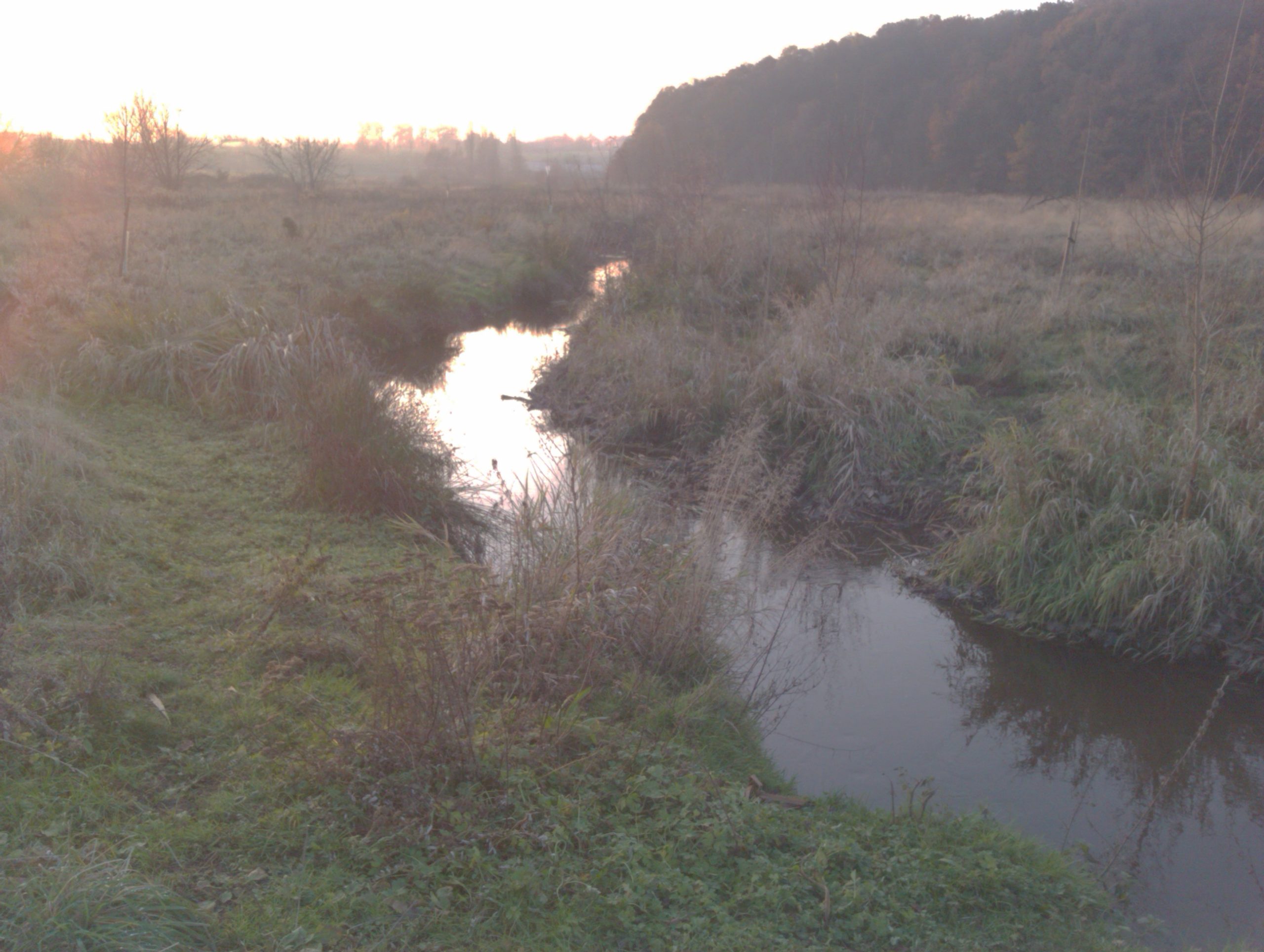
The Nek River (Czech: Rokytka) is the largest river in Lurk. It flows into the Nekker Lake and St. Maul’s Lake before joining the Vltava, and the surrounding area is considered one of the most scenic parts of the nation.
Climate
Both nations share the borderline oceanic climate of the Czech basin: cold winters from November to late March (sometimes below −25°C at extremes), hot summers regularly above 30°C (record: 36.3°C). Rain is relatively uncommon but some summers are wet. Lurk runs somewhat warmer year-round than Mekniy.
Administrative Divisions
Mekniy-Lurk is a symmetrical federation divided into 2 crown lands and 16 federal states. Below the state level are counties (led by Sheriffs) and then municipalities. Yeoju spans three counties.
Crown Land of Mekniy
- Beurgila State (VA) — capital Yeoju
- Aseula State (AS) — capital Myongvan
- Commonwealth of Niyi (NS) — capital Kaywokki
- Empire of Esagitia (ES) — capital Vadeum
- Meshil State (MS) — capital Shisail
- State of Western Beurgila (WV) — capital Makhwa
- State of Boyoheum (BH) — capital Takiyeoju
- State of Konegug (KN) — capital Yanuro
- Ilbun State (IL) — capital Semila
- Hanunkx State (HX) — capital Dijeva
Crown Land of Lurk
- State of Lurk (LR)
- State of Loringia (LG)
- State of Transacrest (TA)
- Lurkish Antarctic Zone (LAZ)
- Redwood (RW)
- Ravensburg (RB)